4 Short Scenic Trails to Explore this Fall in Western Mass
Let’s go for a hike: Western Massachusetts has some amazing hiking trails and you’ll find each of these short scenic trails located in Massachusetts’s Franklin County, which stretches along the upper Connecticut River Valley and borders Vermont to the north. These four scenic trails are perfect to explore any time of the year, but are especially beautiful in fall.
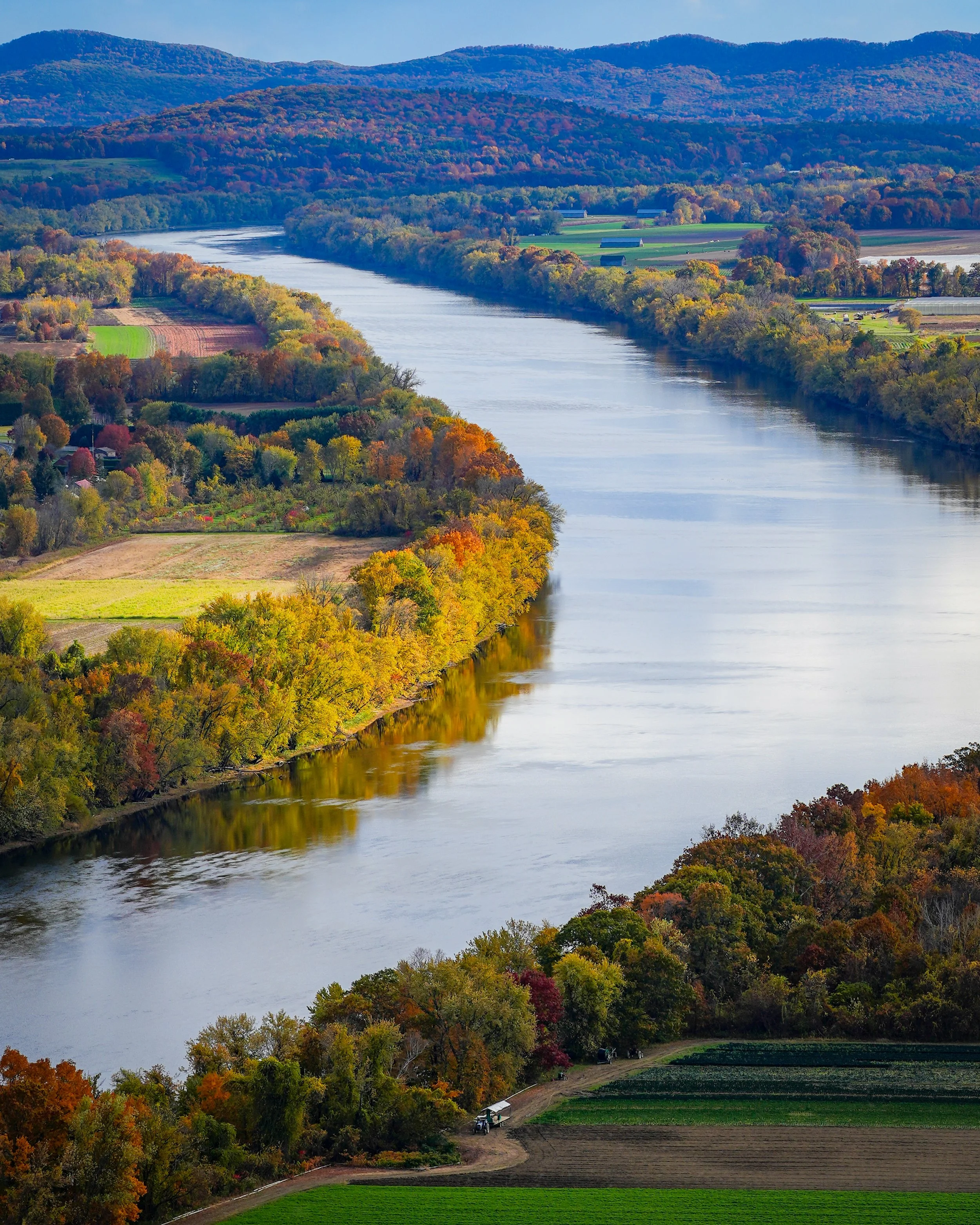
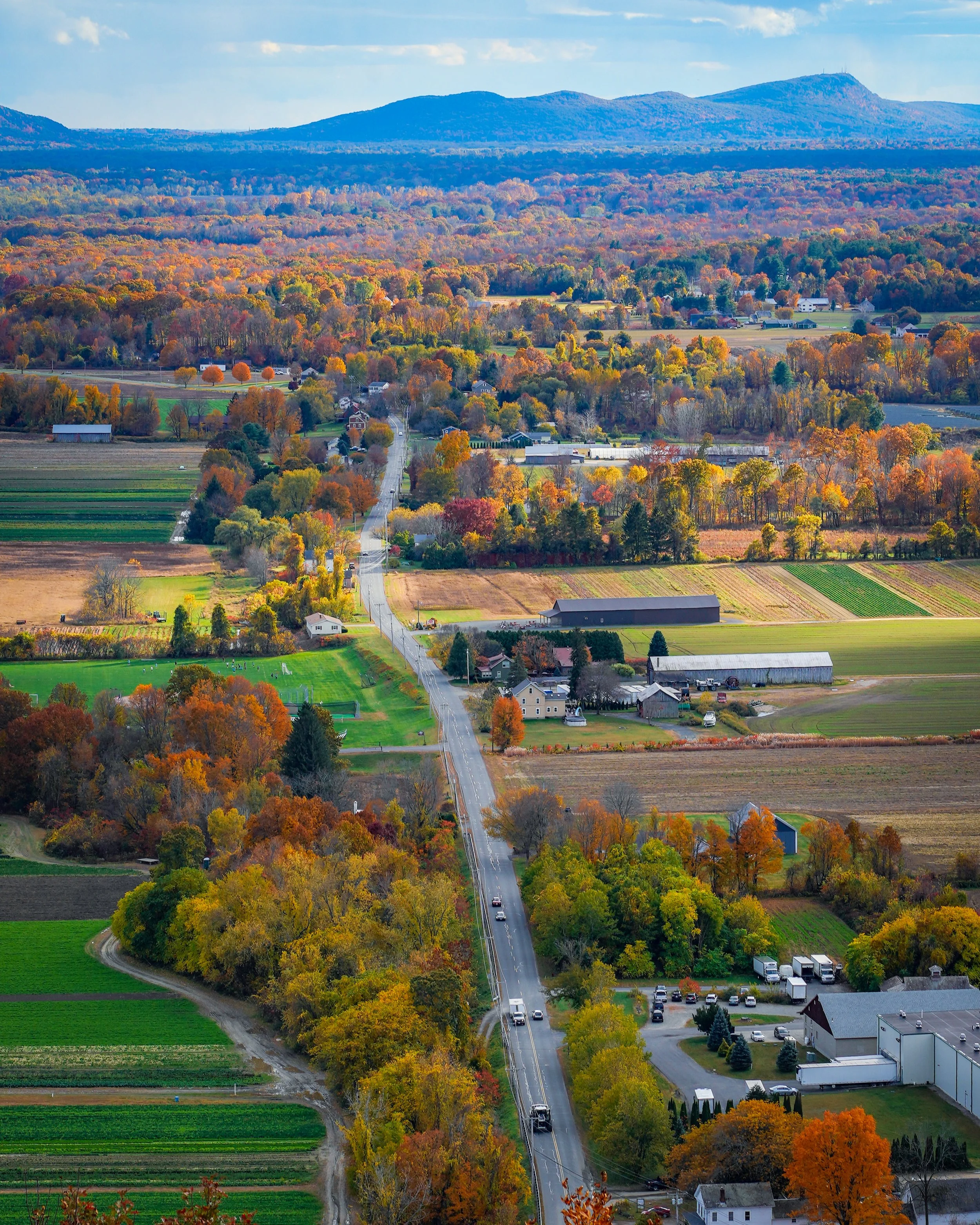
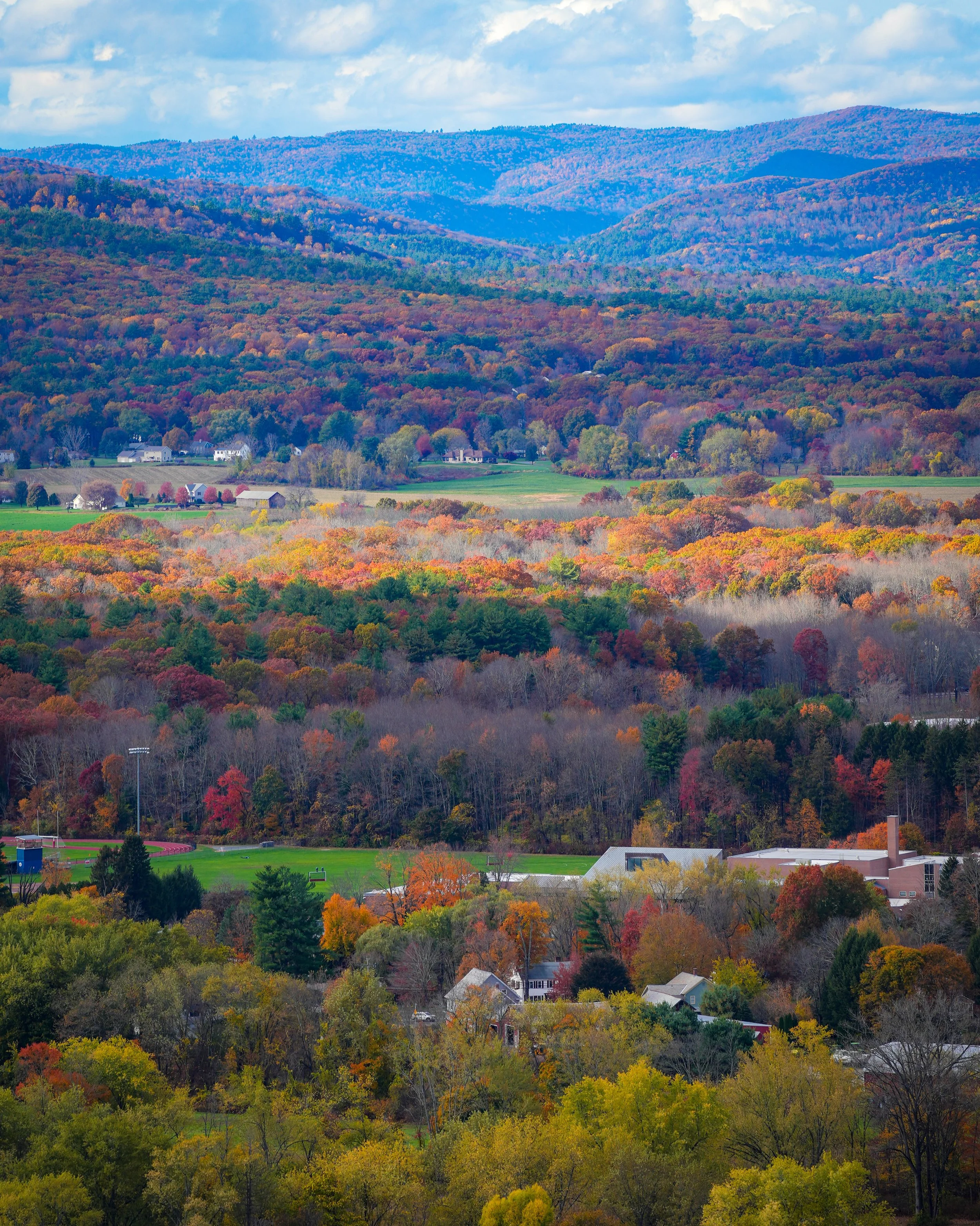
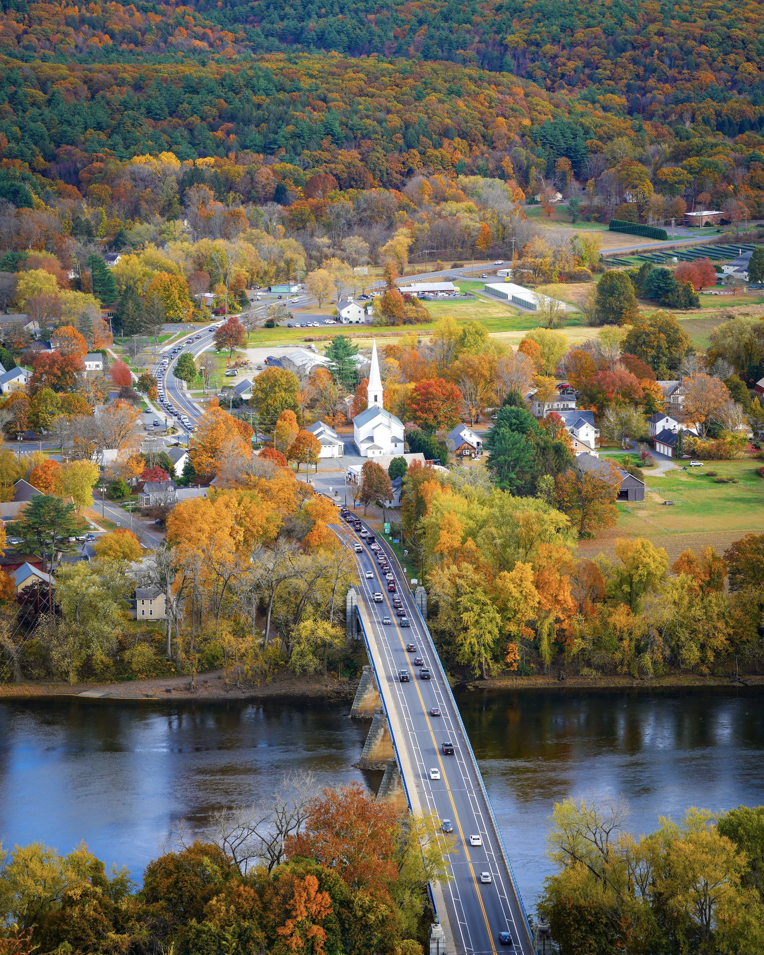
The view of the town center of Sunderland, MA in fall from the top of Mount Sugarloaf.
Which Trail Should You Hike This Fall?
The short answer, all of them! These four scenic trails are beautiful to explore any time of year, but they’re especially beautiful in the fall. They also fit perfectly into a Western Mass fall foliage road trip. You can easily combine these with a lunch stop, local farm stand or orchard visit, or lots more nearby.
If you only have time for one hike, the best choice depends on what you're looking for:
For the easiest scenic walk: Chesterfield Gorge
For art + nature: Bright Water Bog
For the best panoramic views: Mount Sugarloaf
For a waterfall adventure: Cranberry Pond & Roaring Falls
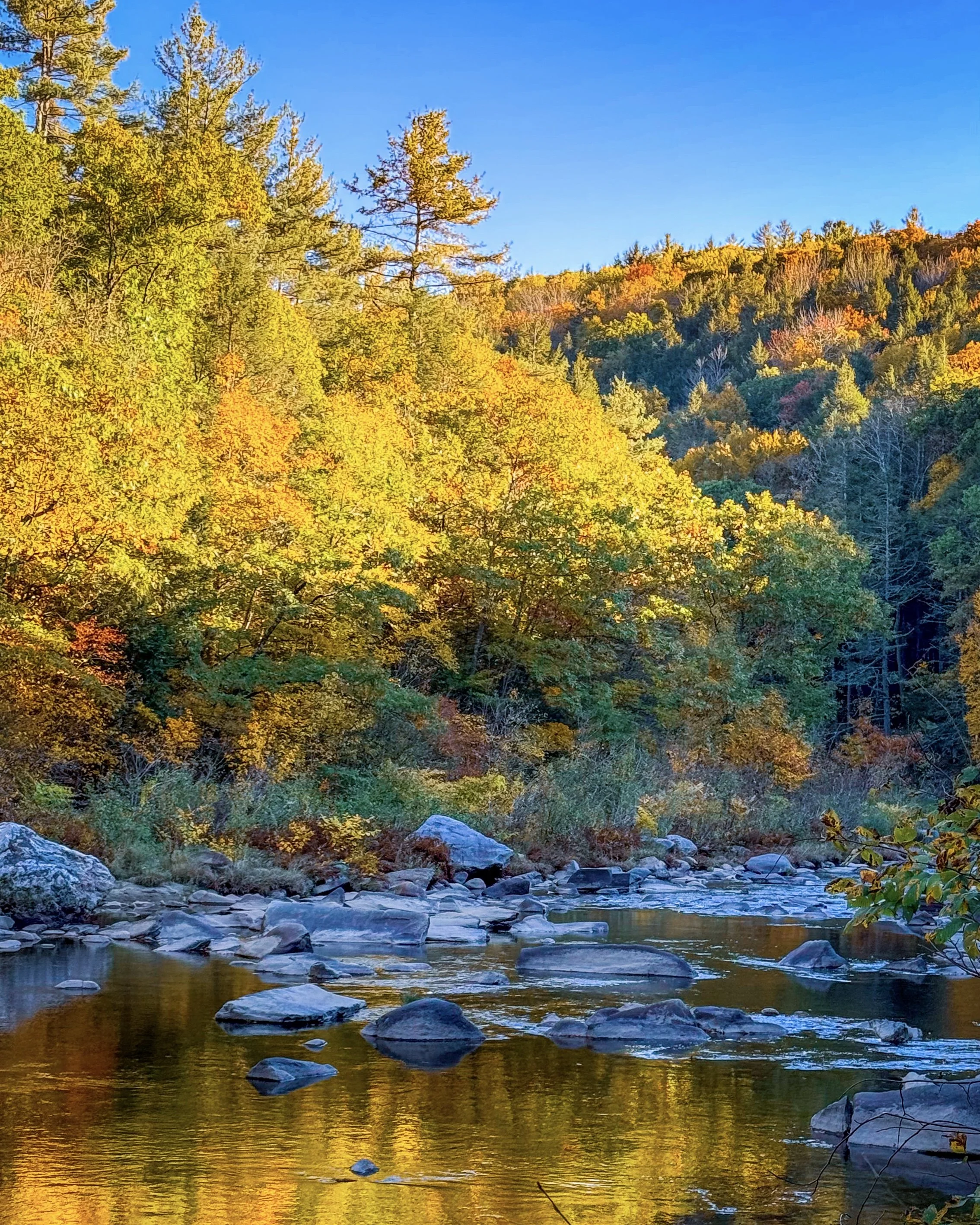

The Hikes
Chesterfield Gorge (Chesterfield, MA)
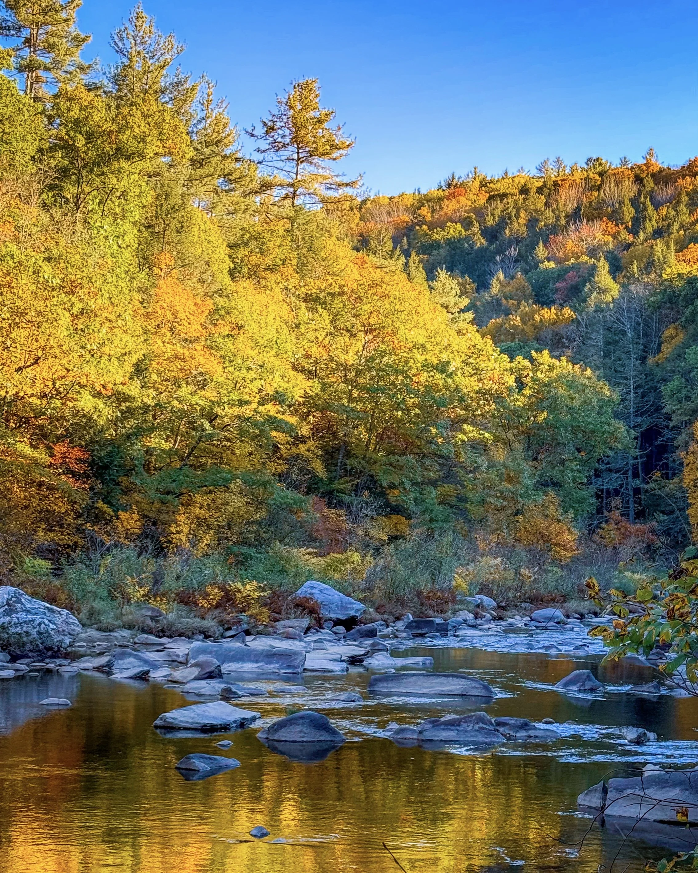
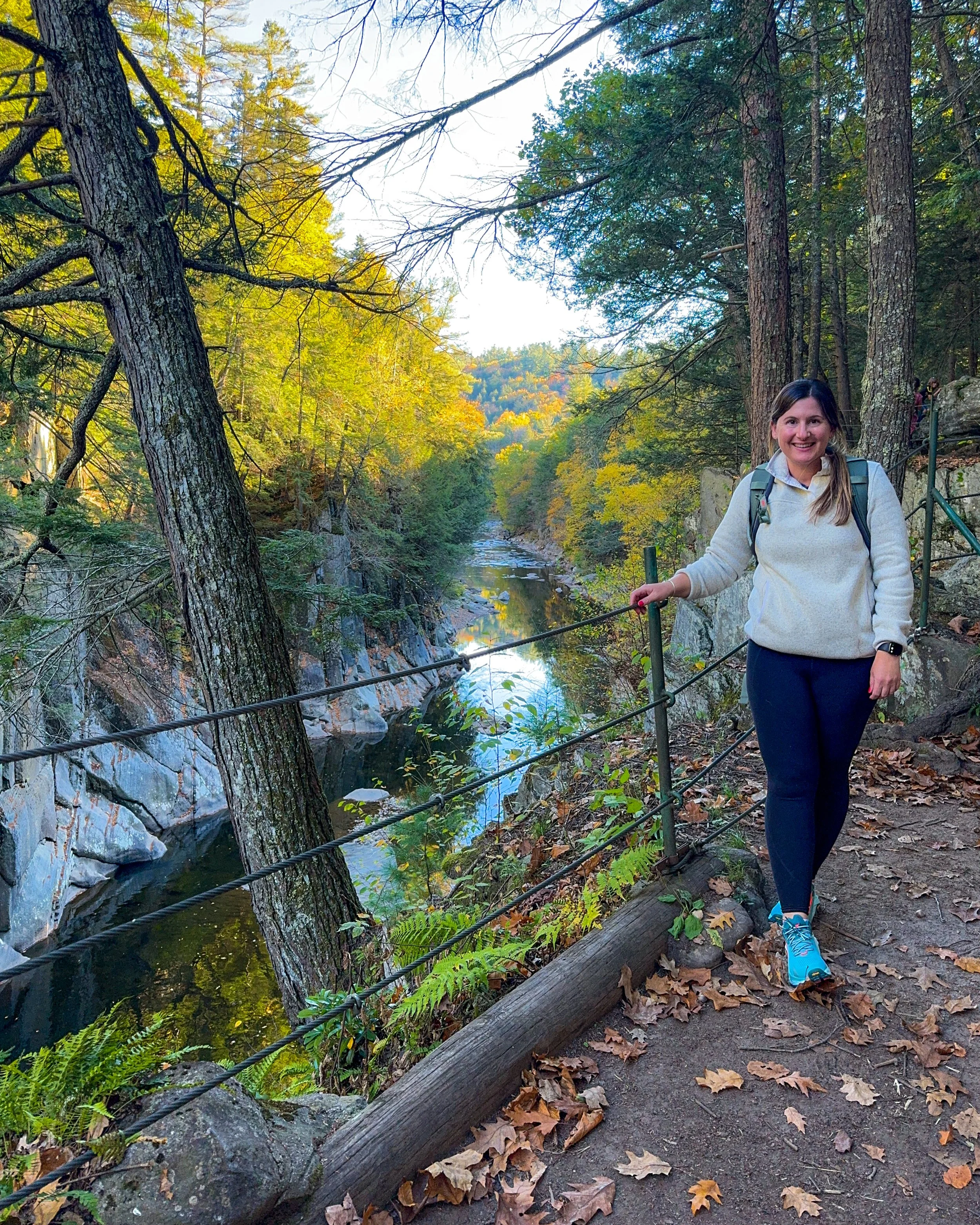
This short, half-mile trail takes you along cliff tops and offers stunning views of the gorge and river. You also have the option to extend your hike by continuing on the East Branch Trail for up to 8 miles!
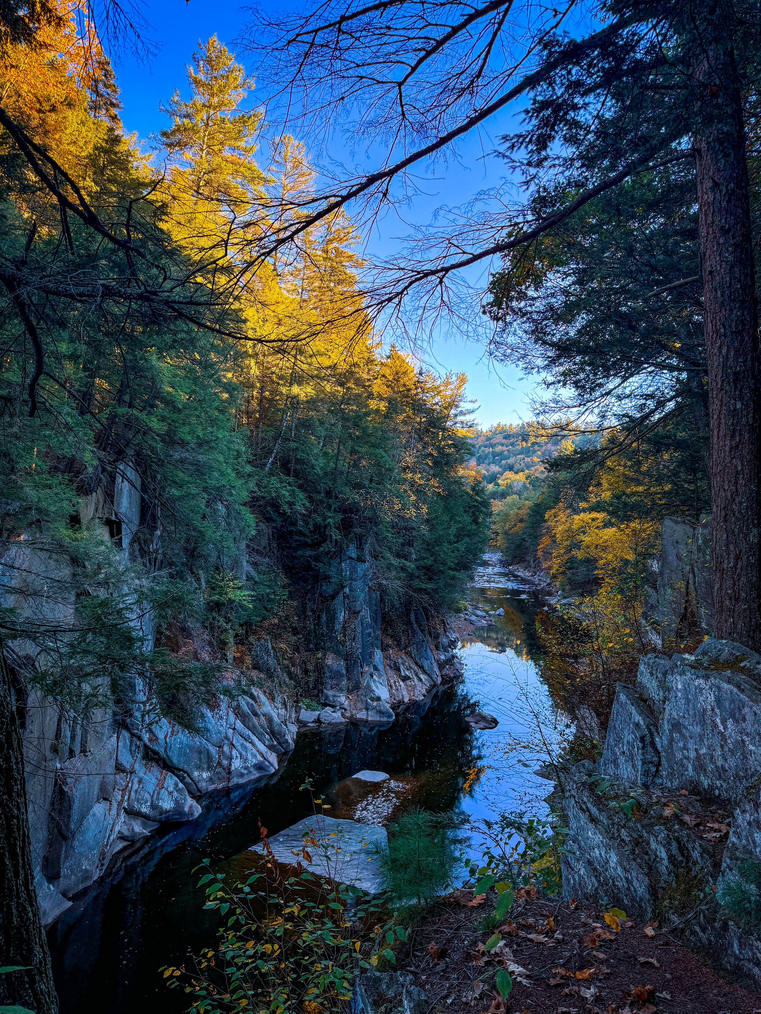
View looking down into the Chesterfield Gorge in fall
Hike Overview
Distance: 0.5 miles (option to extend the hike up to 8 miles)
Difficulty: Easy
Terrain: Mostly flat with minimal elevation change
Managed by: The Trustees
Parking: Parking is free for Trustees Members and Chesterfield residents, and $5 for all others.
Dogs: Welcome on leash
Best for: Gorge views, fall foliage, a quick scenic walk
Trail Map: https://thetrustees.org/wp-content/uploads/2024/07/chesterfield-gorge-trail-map.pdf
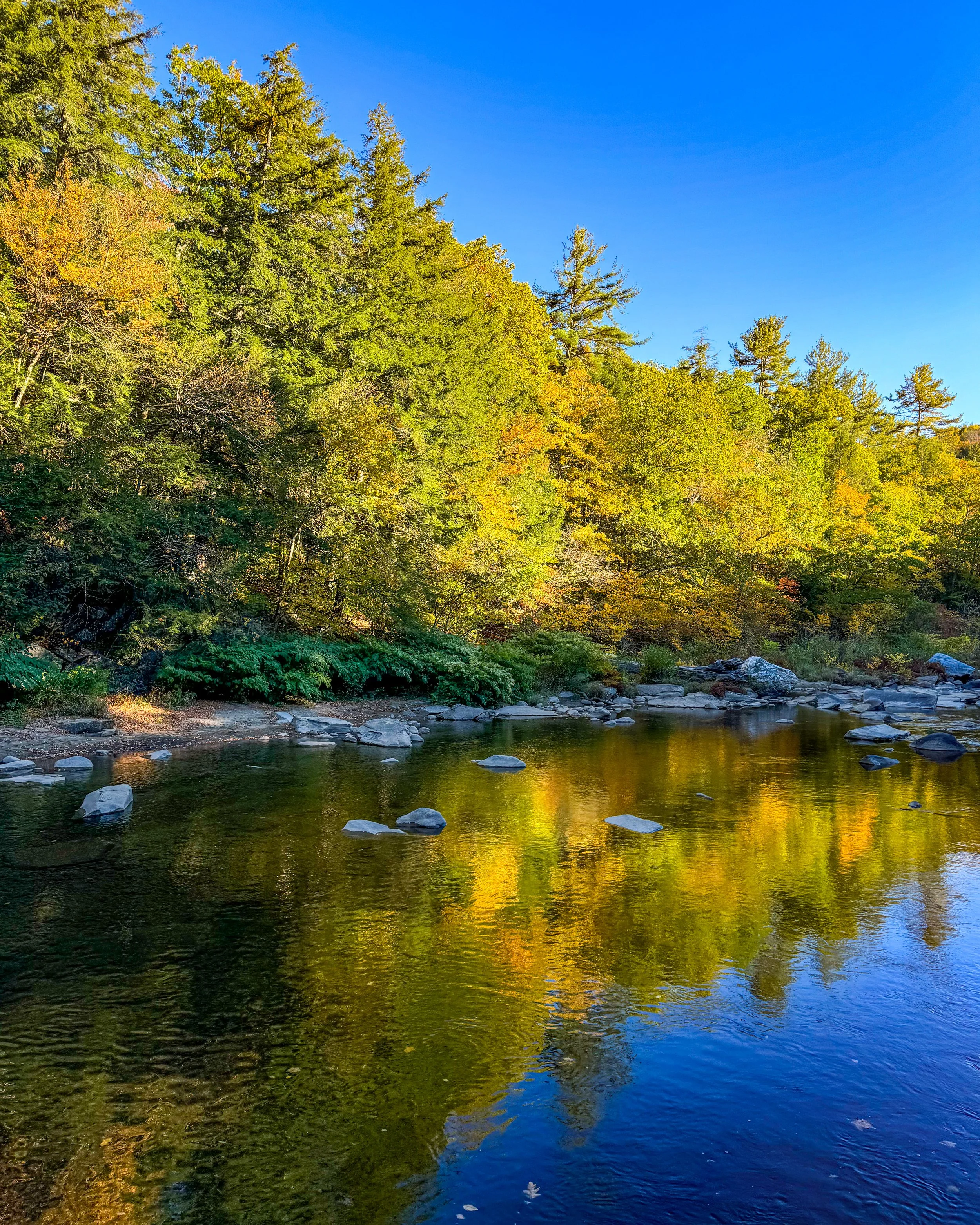
If you're looking for a short hike that delivers lots of scenery but not too many steps, Chesterfield Gorge is one of my favorite options in Western Mass. Located along the Westfield River in Chesterfield, this Trustees property features a dramatic gorge carved by the East Branch of the Westfield River. The gorge's rock walls rise approximately 70 feet above the river, creating a really dramatic landscape.
The Trustees trail is only about half a mile and follows the cliff tops overlooking the gorge. There is very little elevation change, making this a great choice when you want a scenic walk without a strenuous climb.
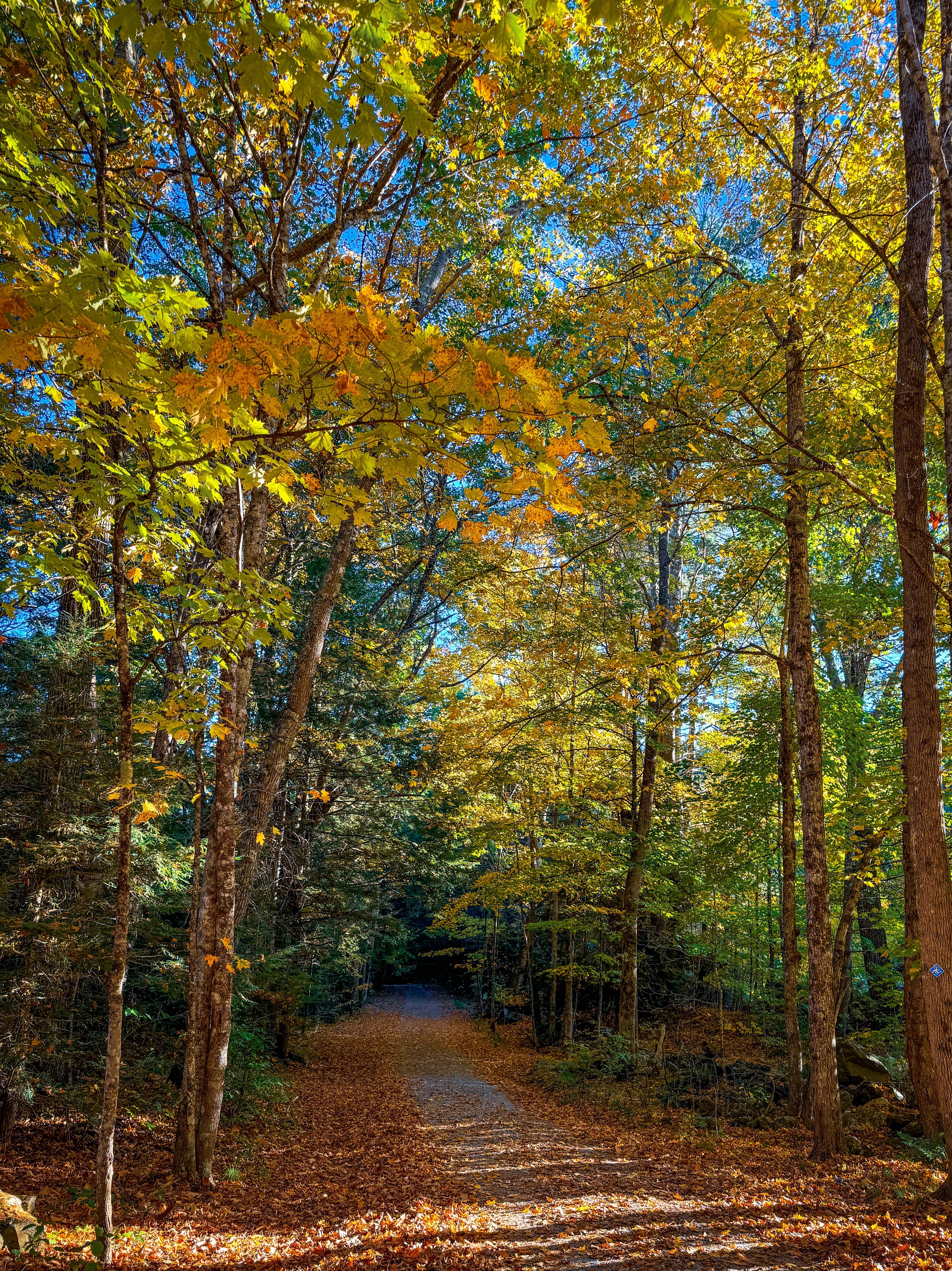
There are also opportunities to continue exploring beyond the short gorge loop. The East Branch Trail continues for approximately eight miles toward Knightville Dam, so you can extend your adventure if you're looking for a longer hike. The trail remains mostly flat and there are spots to walk down to the river.
For additional hiking details and latest updates, check out the Trustee’s site: https://thetrustees.org/place/chesterfield-gorge/.
Bright Water Bog / Ames Pond (Shutesbury, MA)
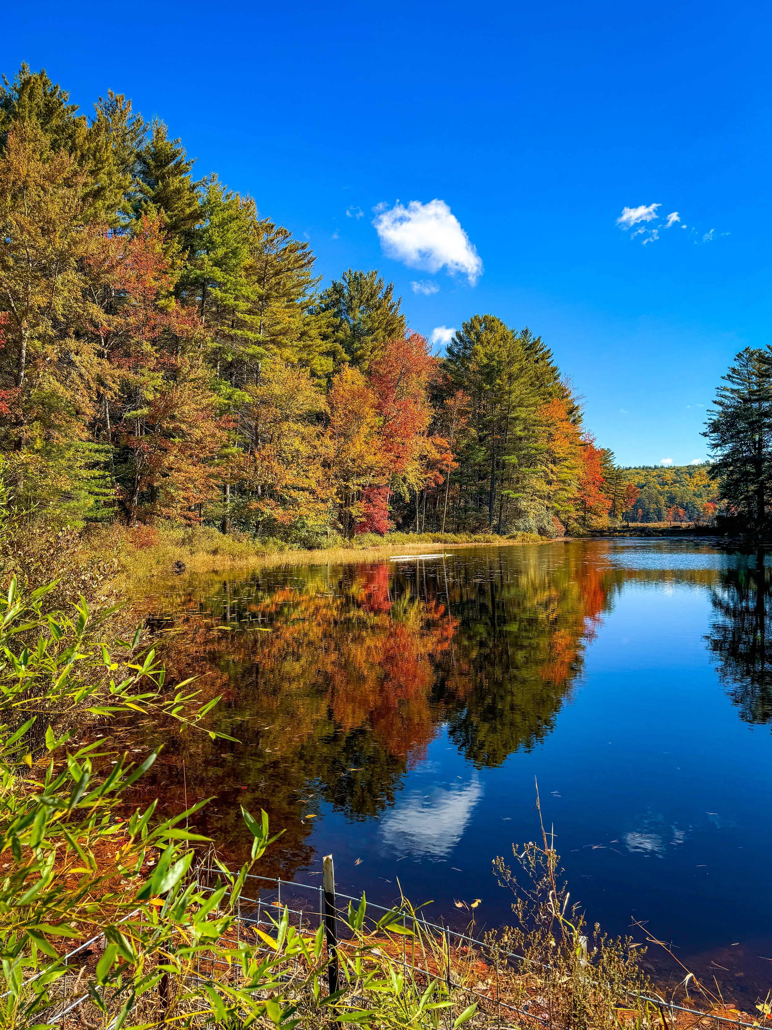
Explore up to 4 miles across this unique property managed by Kestrel Land Trust. Located around Ames Pond in Shutesbury, this Kestrel Land Trust property combines wetlands, forest, a pond, boardwalks, and outdoor art.

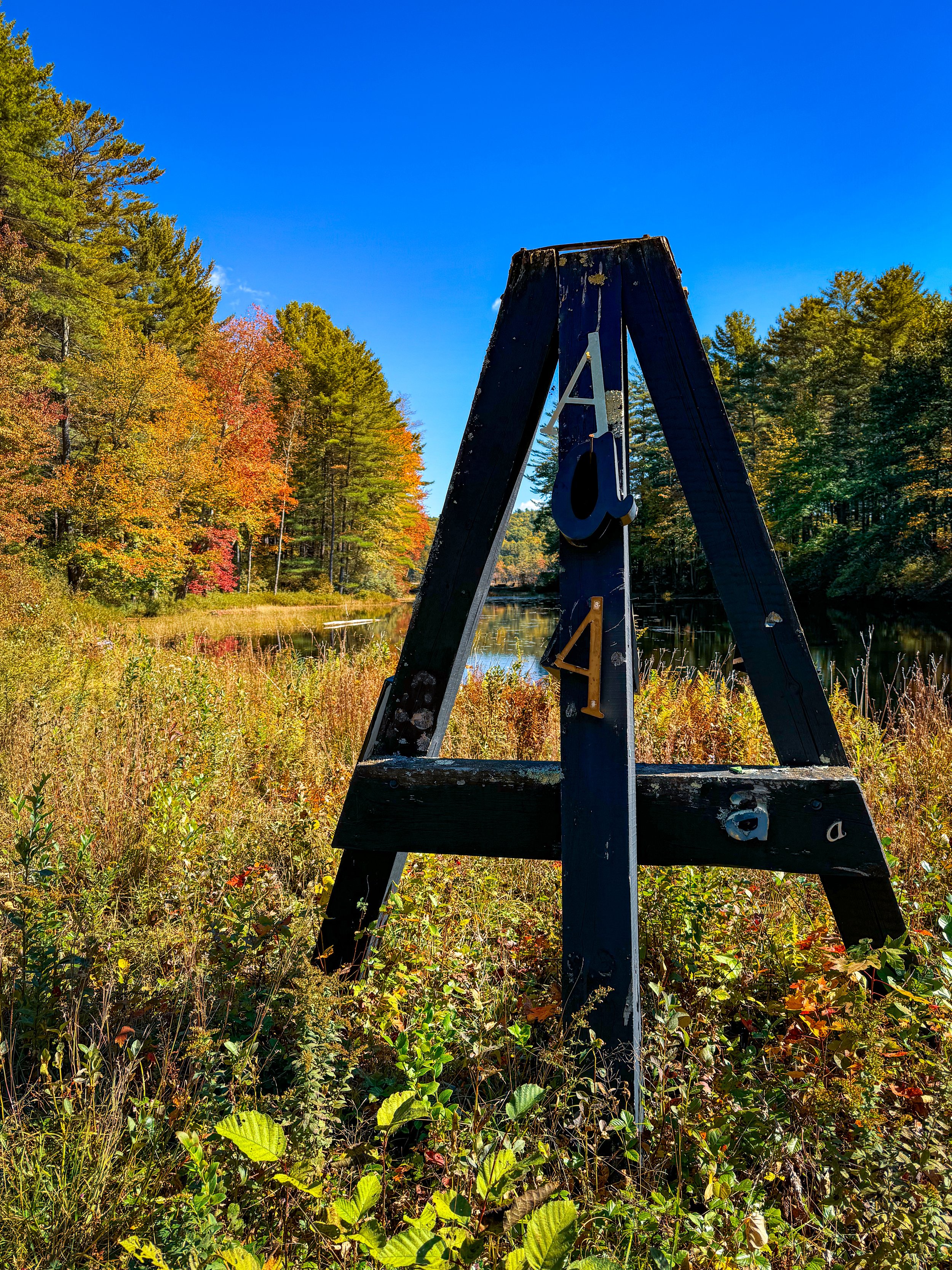
A sculpture along the Ames Pond at Bright Water Bog
Hike Overview
Distance: 1.5 miles for the Big Loop; option to hike 4 miles of trails
Recommended route: Big Loop plus the Ledge View trail for about 2 miles
Difficulty: Easy (Big Loop trail) to moderate (if hiking up the ledge view)
Terrain: Mostly wooded trails and boardwalks
Managed by: Kestrel Land Trust
Parking: Small parking area, enough room for about 8 cars
Dogs: Welcome on leash
Best for: Pond views, boardwalks, and unique outdoor art
Trail Map:https://www.kestreltrust.org/wp-content/uploads/2024/11/BWB-NATURE-RETREAT-TRAIL-MAP_11_2024_FINAL.pdf
Fall is my absolute favorite time to do this hike! Throughout the property you'll find outdoor sculptures created by Julian Janowitz, the artist and former owner of the land. His sculptures are scattered along the trail, so hiking here feels a little like wandering through an outdoor art gallery. The sculptures look extra beautiful against a backdrop of fall foliage colors and you can see the sculptures even better in fall.
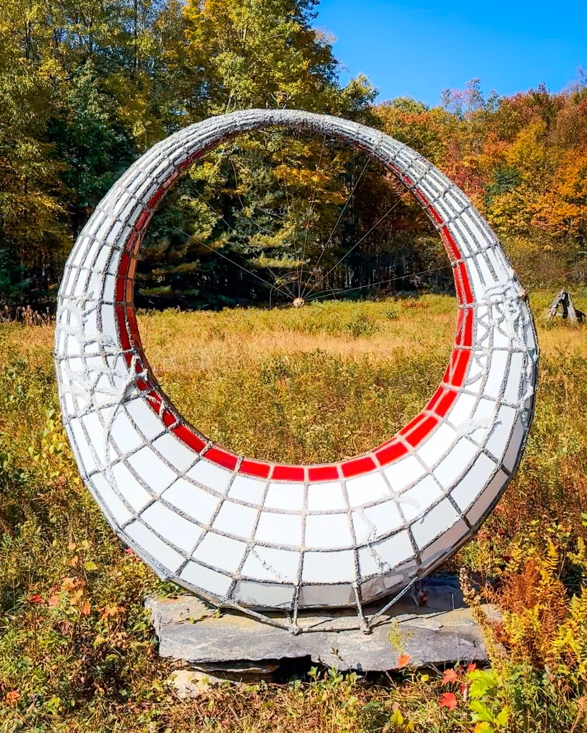
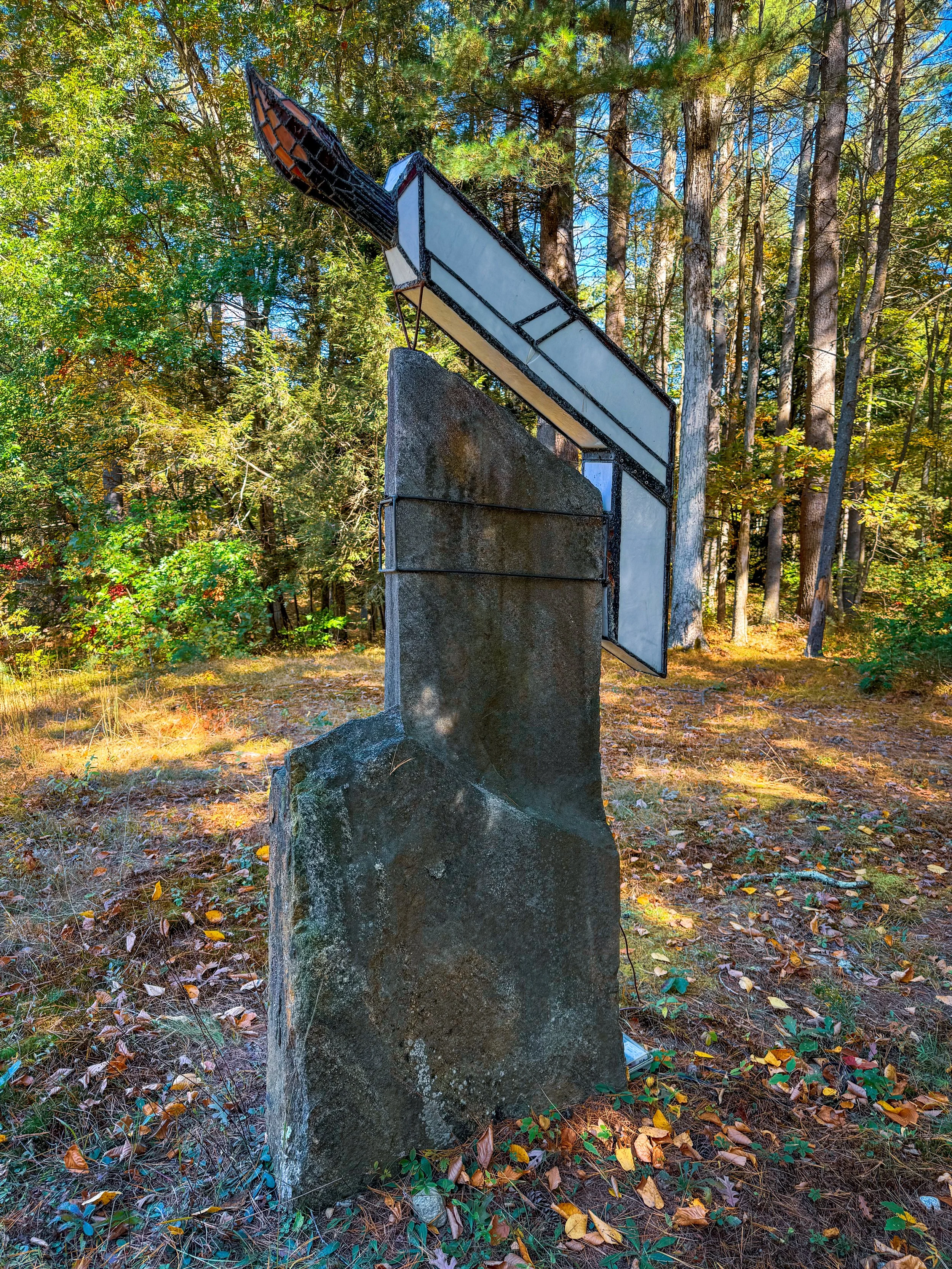
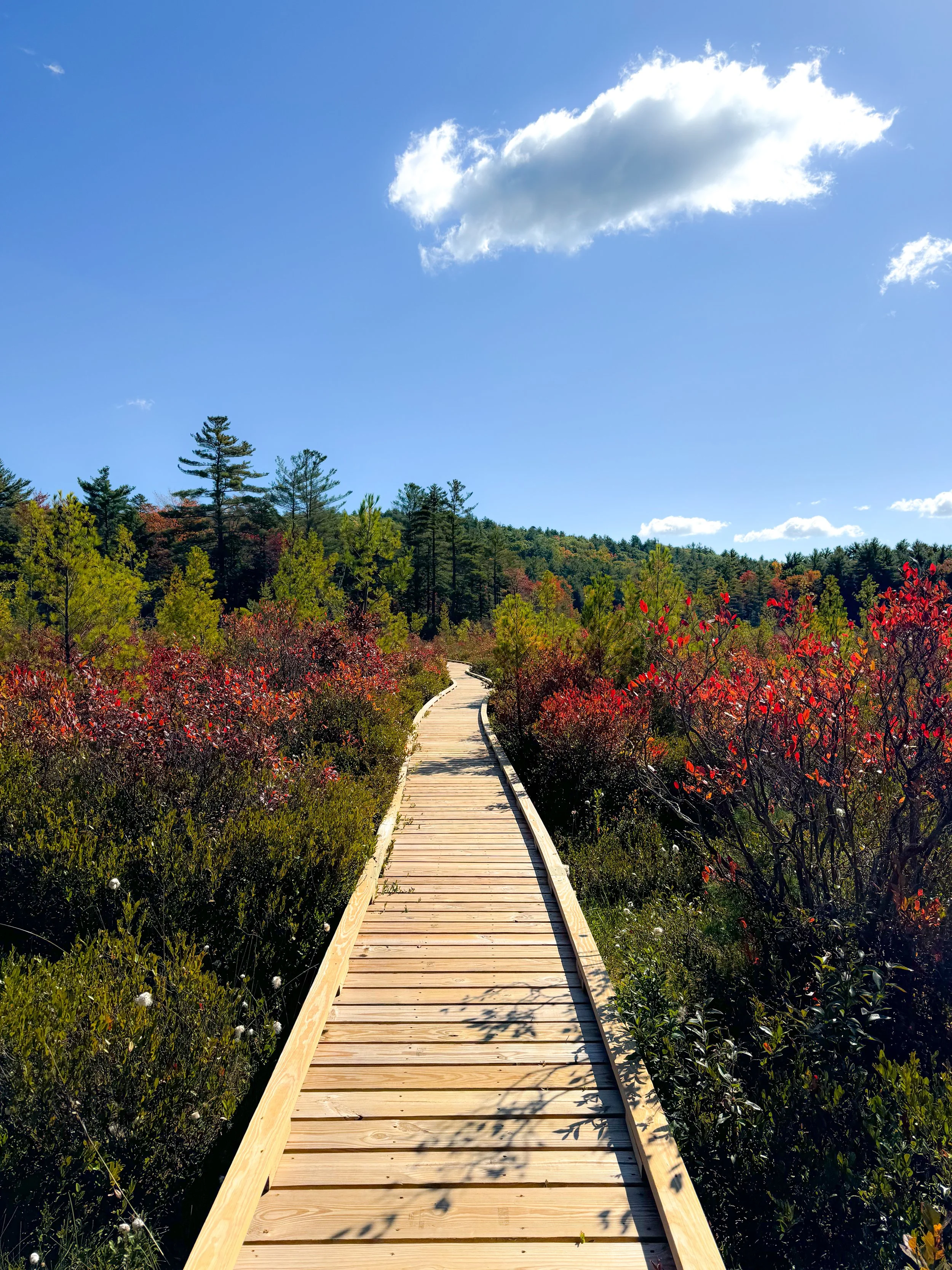
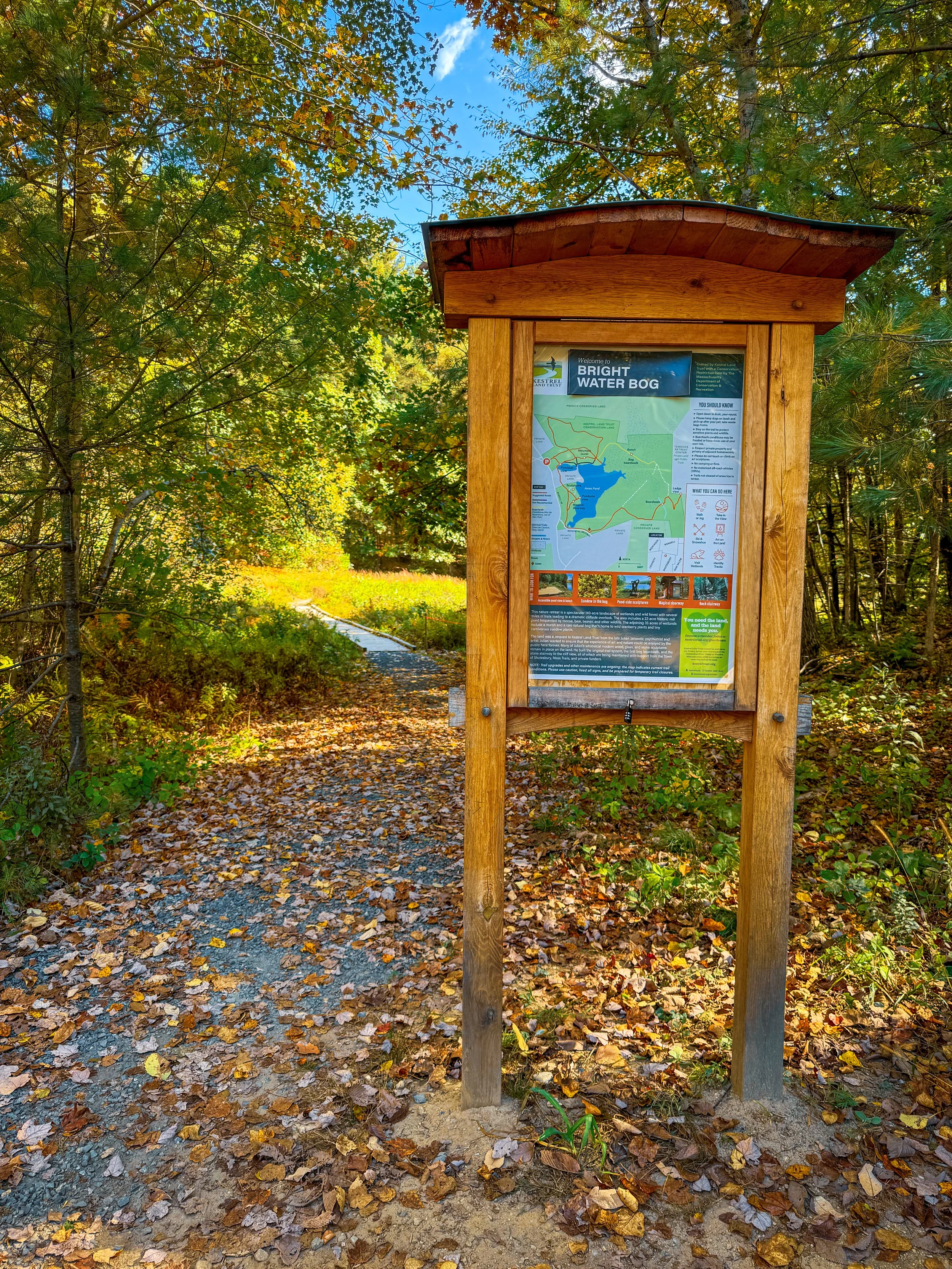
For this hike, I recommend taking loop trail around Ames Pond. You’ll start the hike with a beautiful view of the pond and your first sculpture. There’s also a bench here which makes it a great spot to stop and take in the views for a few minutes before beginning the hike.
You’ll follow the trail through the woods and then along a boardwalk trail which will take you across the bog. Along the way you’ll find poetry on some of the trees. When you make it to the first long boardwalk stretch there is also a little mailbox next to a bench where you can take a moment to pause and leave a note, or write your own poem.


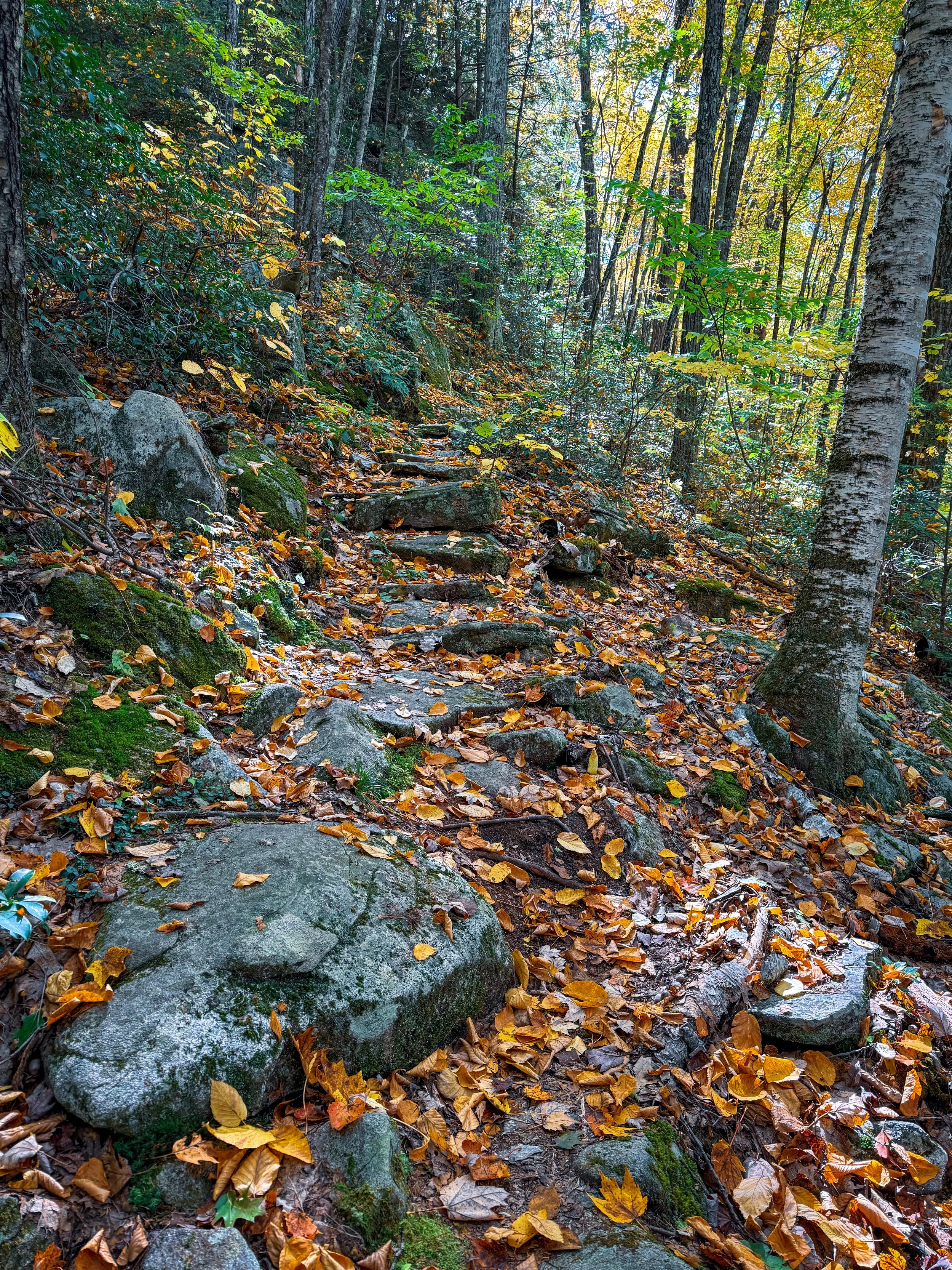
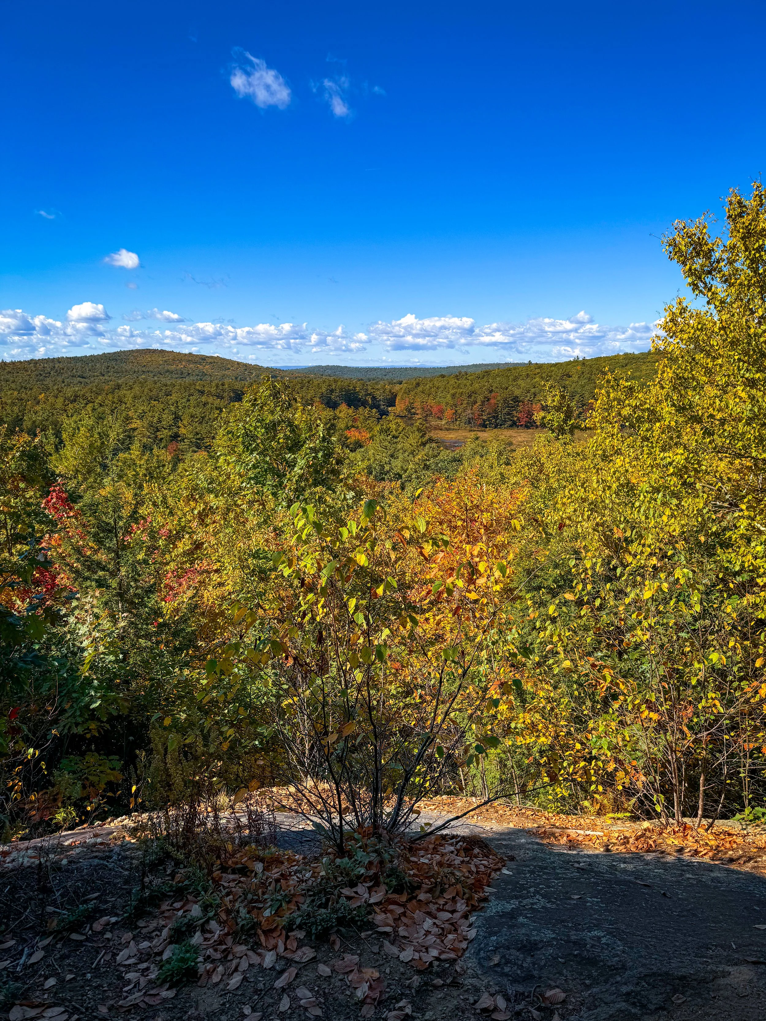
Continuing along the trail, you will soon have an option for a short climb to a scenic overlook. I absolutely recommend this option if you’re up for a little climbing. You’ll get a completely different perspective of the property and see out across the landscape and rolling hills in the distance. The climb is only about 0.25 miles to the top and includes some rock staircases along the way.
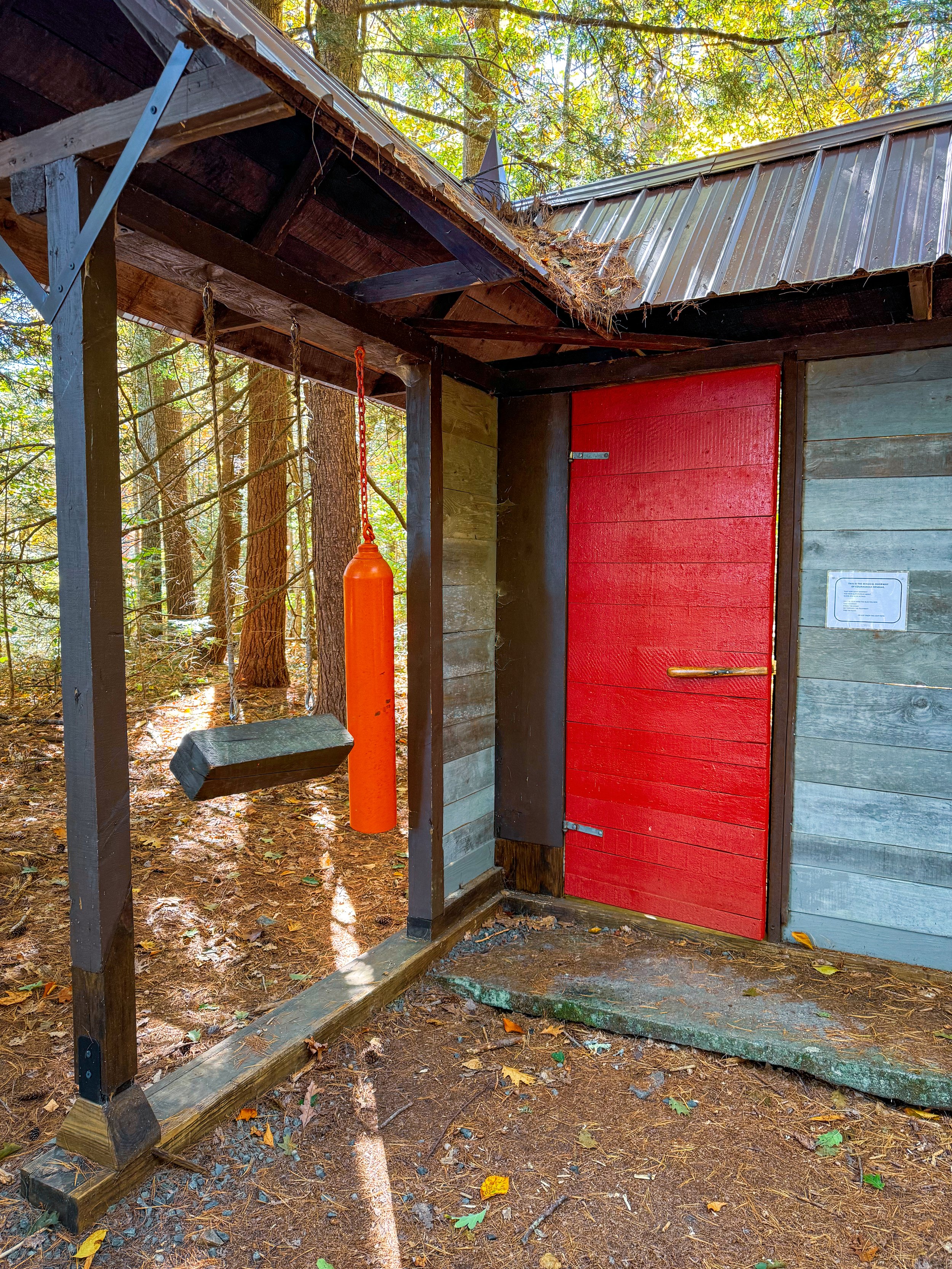
After the climb down from the lookout, the trail continues on from around the pond where you’ll discover more art including one of my favorite exhibits “The Magical Doorway of Courageous Resolve.”
For additional hiking details and latest updates check out the Kestrel Land Trust site: https://www.kestreltrust.org/places/bright-water-bog-nature-retreat/.
Mount Sugarloaf (South Deerfield, MA)
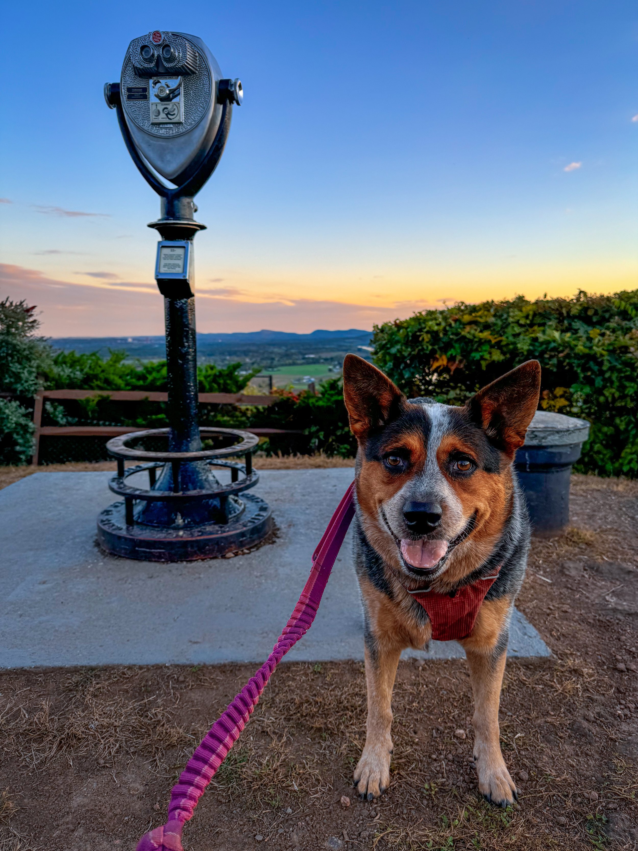
Just about a mile to the summit, with the option to take the trail or the paved road. At the top, you’ll find picnic tables and an observation tower—the views are especially magical at sunset. Recommended trail: the South Sugarloaf Summit Trail (it starts from the parking lot to the left of the paved road). Not in the mood for a climb? Drive up to the top!
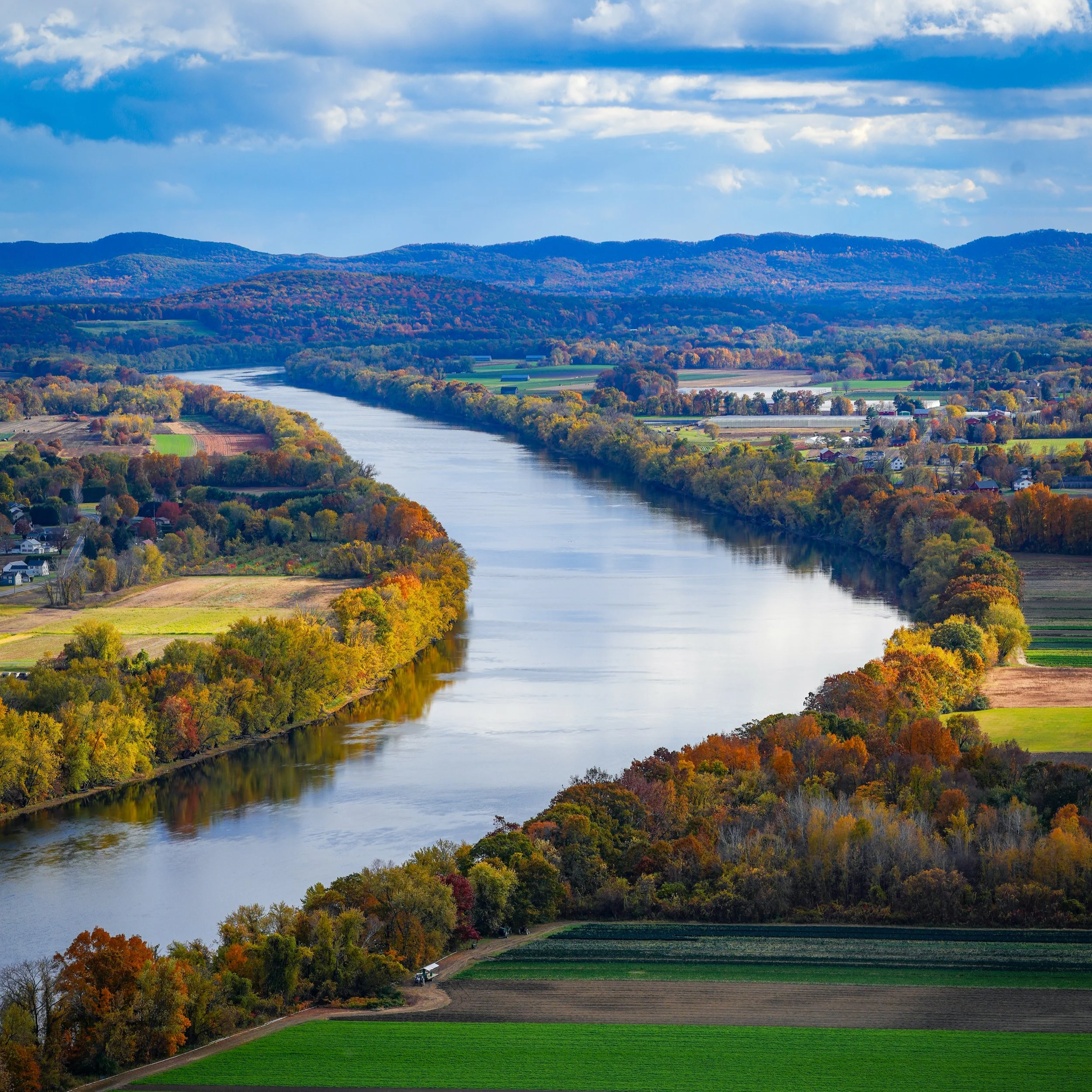
Views of the Connecticut River from the top of Mount Sugarloaf in fall
Hike Overview
Distance: Approximately 1 mile to the summit
Recommended route: South Sugarloaf Summit Trail
Difficulty: Moderate with steeper rockier climbs toward the top
Terrain: Wooded trails, option for paved road
Parking: Medium sized parking area, can fill up at peak times
Dogs: Welcome on leash
Best for: Panoramic views, fall foliage, and sunset
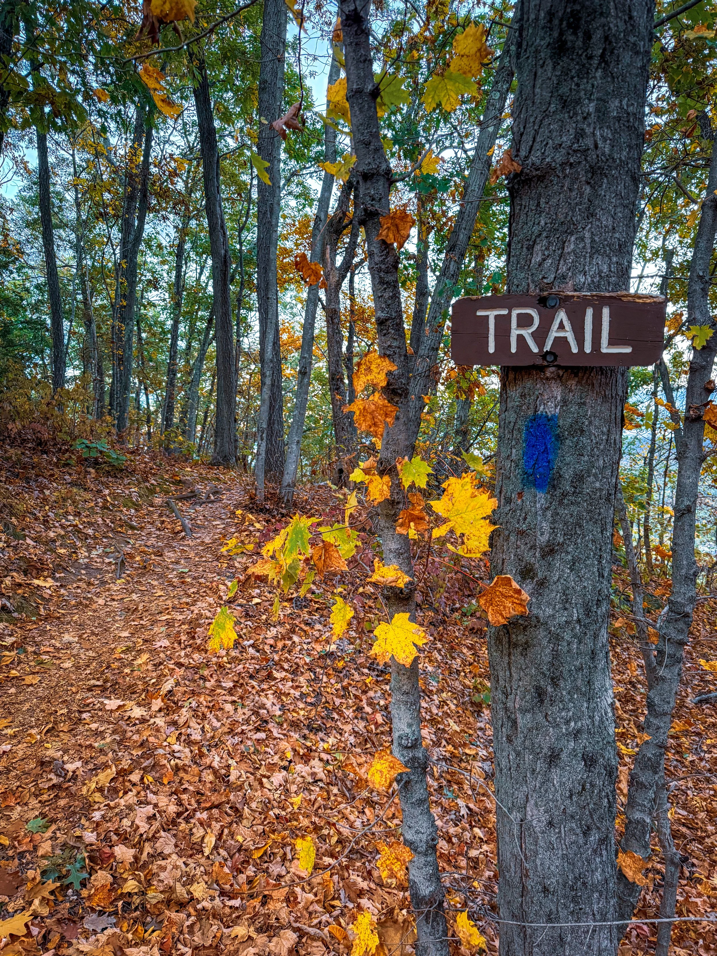
One of my favorite views in Western Mass is from the top of Mount Sugarloaf and it looks even more picturesque with fall foliage.
It is just about a mile to the summit, with the option to take the hiking trail or the paved road to the top. I recommend taking the South Sugarloaf Summit Trail which starts from the parking lot, just to the left of the paved road. The trail starts out as a gentle walk through the woods before making a steeper (but quick) ascent up the mountain.
Close to the top of the mountain, you’ll find a lookout point with a bench to stop and take in the views before making it up the final stretch to the summit. I love to pause here and have a water break.
At the top of the mountain is one of the best views in the valley. You’ll look out to the town center of Sunderland, across fields of farmland, and out to the Connecticut River.
Not looking to hike? There is a paved road that goes to the summit and is open to cars from May-October, 9 am - sunset.


Cranberry Pond & Roaring Falls (Sunderland, MA)
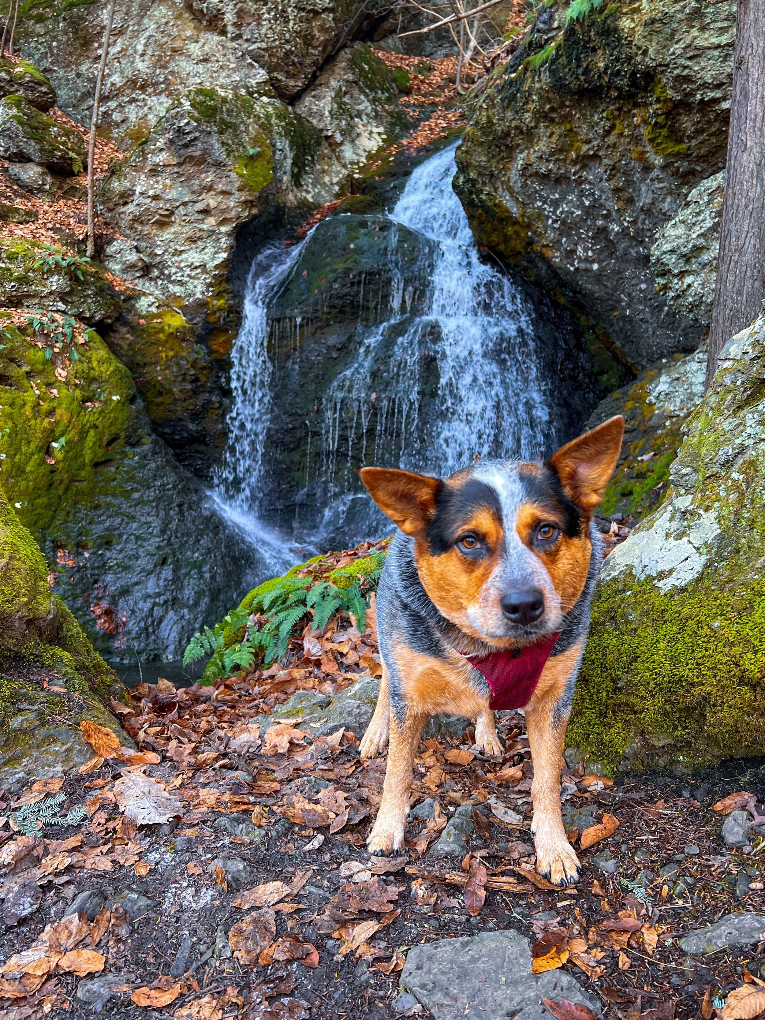
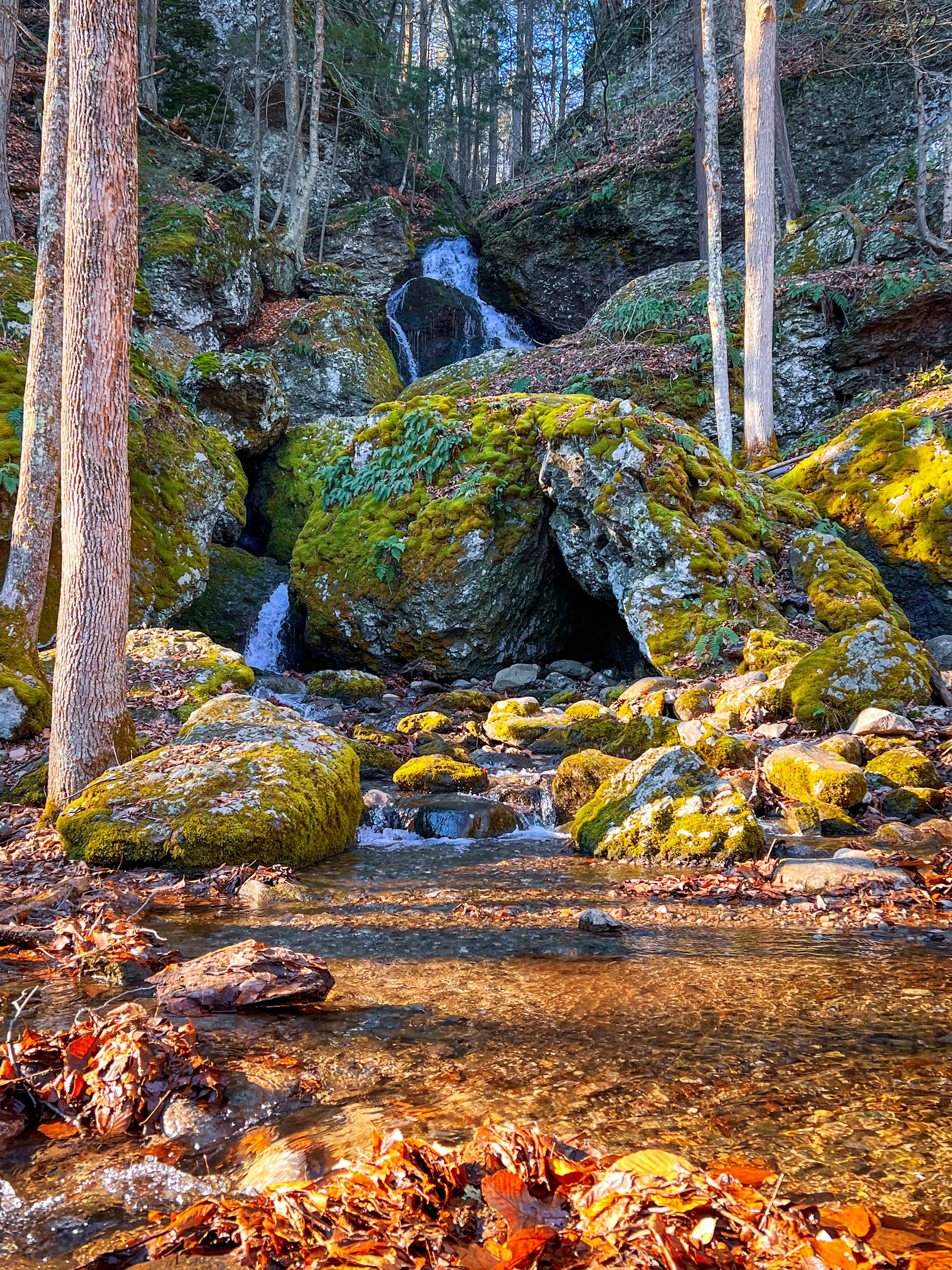
This out-and-back hike in Mount Toby State Forest takes you along Cranberry Pond and out to a waterfall view. The round-trip hike is just under 2.5 miles. Note: the waterfall may not always be flowing during dry periods, but the hike is still worth it

Hike Overview
Distance: Just under 2.5 miles round trip
Recommended route: Cranberry Pond & Roaring Falls out-and-back
Difficulty: Easy to Moderate
Terrain: Forest trail with some rocky sections
Parking: Medium sized parking area
Dogs: Welcome on leash
Best for: Pond and waterfall views
The Cranberry Pond & Roaring Falls hike is an out-and-back route of just under 2.5 miles. The trail begins near Cranberry Pond, a scenic 27-acre pond tucked within Mount Toby State Forest. The pond is surrounded by undeveloped shoreline and forest, making it a peaceful spot to begin your hike.
As you leave the pond, the trail gradually climbs toward Tower Road. The trail eventually branches toward Roaring Falls, where a short but steep section leads you alongside the waterfall. Roaring Falls drops approximately 100 feet over a series of ledges, pools and chutes, creating a beautiful destination on the hike.
The flow at Roaring Falls is very dependent on the conditions and may be more of a trickle if vising during a dry period. The hike is definitely still worth it, but if you are looking for optimal waterfall conditions I would recommend timing your visit for after a stretch of rainy weather to see Roaring Falls flowing strongly.
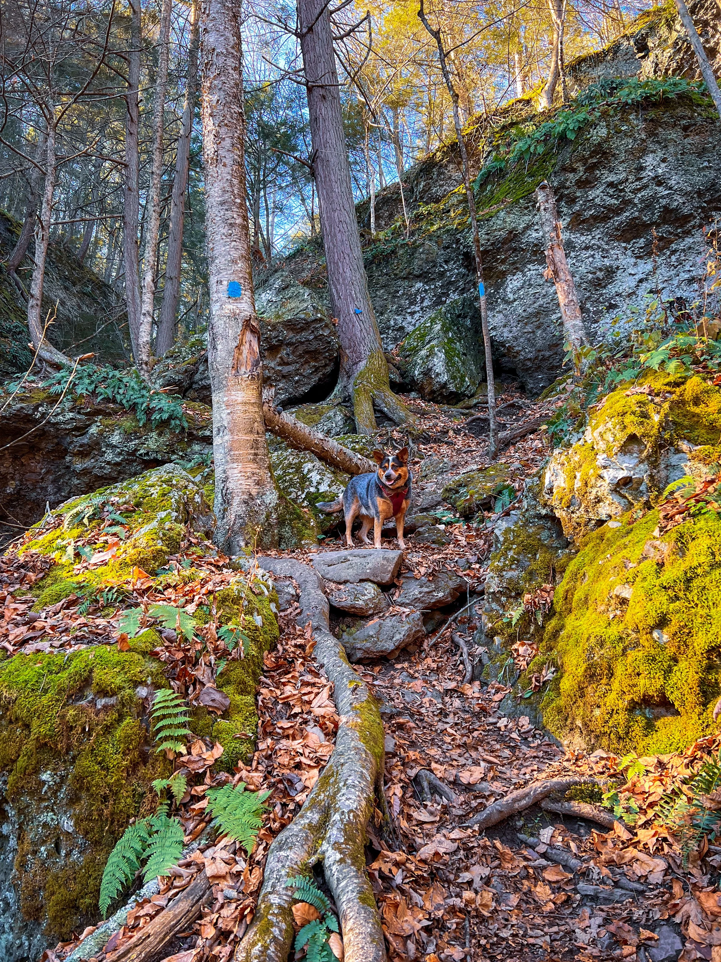
Fall is one of the best times to explore Western Massachusetts, and you don't need to spend an entire day on the trail to experience it. I love a short hike where you can get outside, enjoy nature and see the leaves changing.
Happy Hiking! 🍁🥾
